blue blurred background
light blue blurred background

Visualize Wind Turbines

per Street View or in your photos

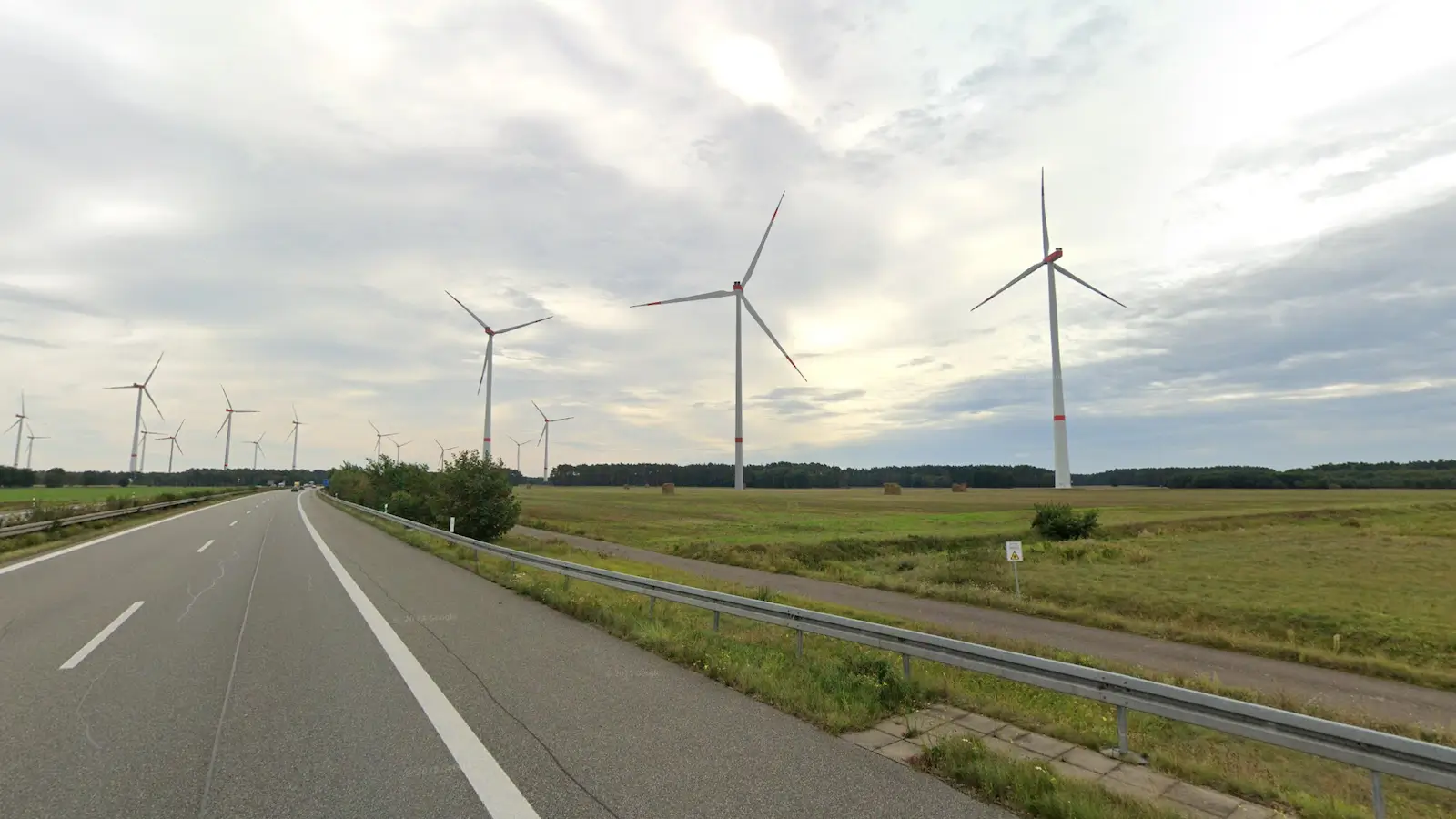
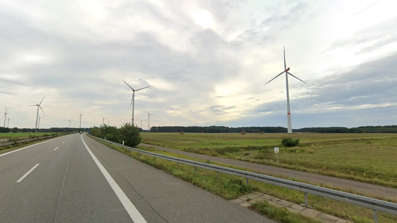
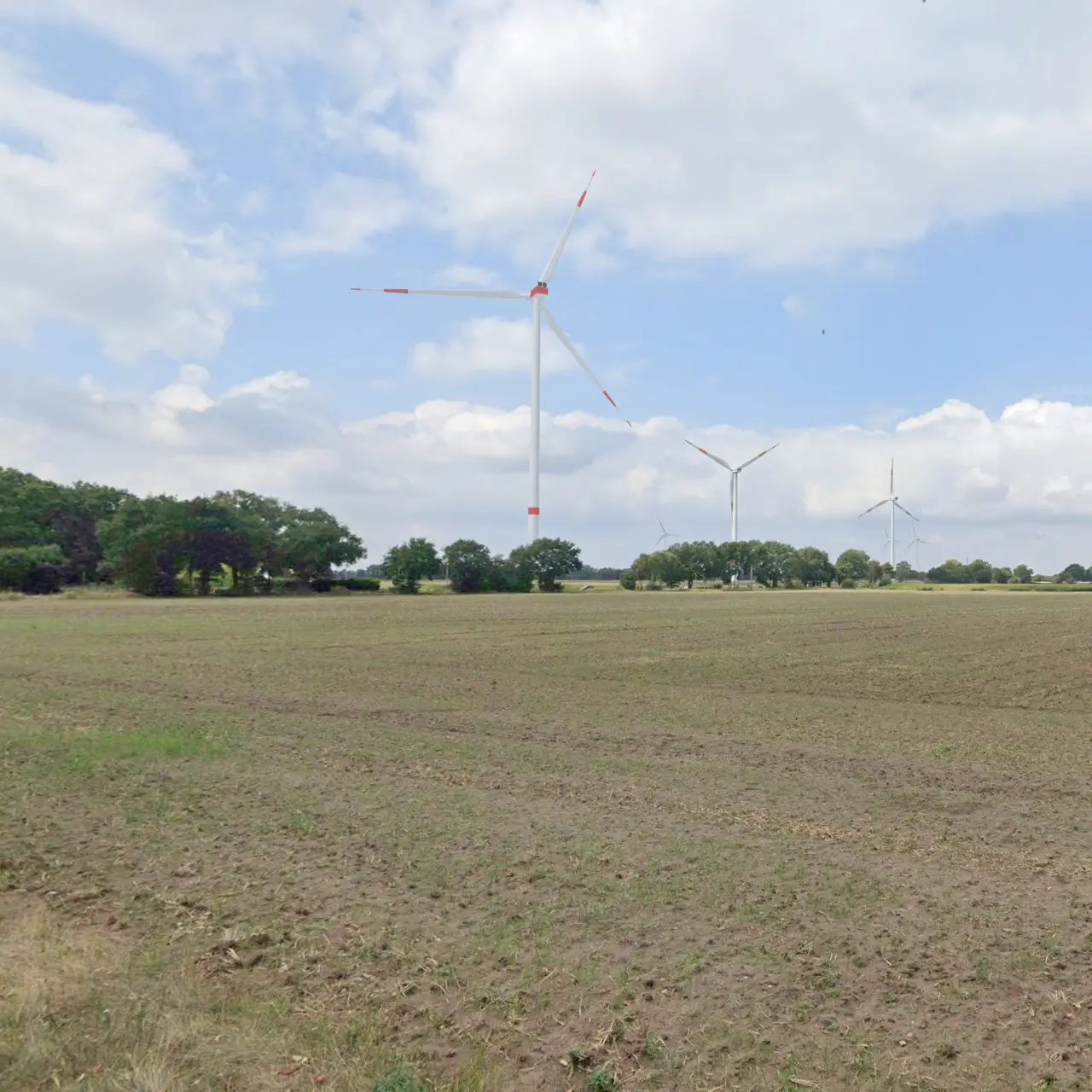
Quickly, accurately, and for free, create photorealistic images of wind turbines based on Google Street View or your own photos.

1 .

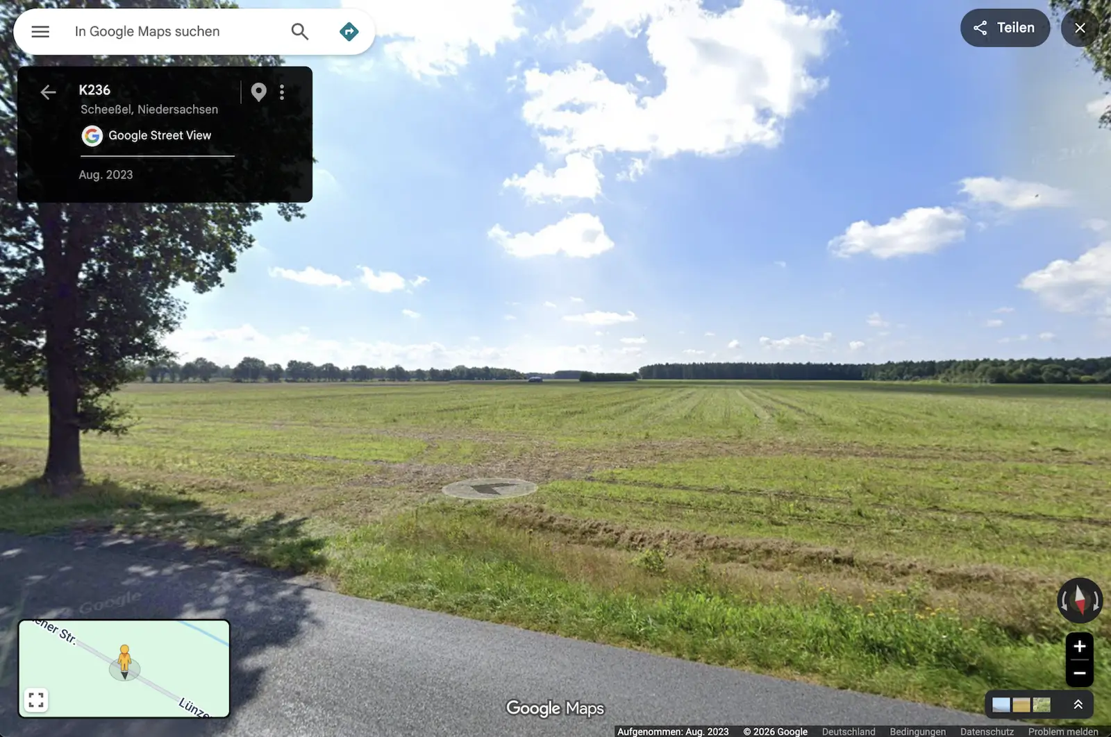
Select a view

from Street View and copy the URL into the tool.

2 .

Place turbines

or load existing turbines directly from WindTurbineMap.

3 .

Adjust photorealistically

Adjust exposure, alignment, sun position, and more.

4 .

Export visualization

or save the project ID for later edits.

Light green turbine

Live Demo

Personal live demo for your convenient start

In a personalized, free 15- to 30-minute video meeting, we'll show you the most important features and will be happy to answer your questions. 

Light green turbine

FAQ

Frequently Asked Questions About the Visualizer

Here you'll find answers to the most important questions about the Visualizer's features, accuracy, data protection, and its use in wind energy projects.

Currently, the visualizer creates photomontages based on Google Street View. The upload of your own location photos is expected to be available by the end of August. This will then allow individual shots to be used directly for visualization.

Yes, the visualizer can currently be used free of charge. It was developed as a quick and uncomplicated alternative to traditional photo montages.

The visualizations created may be used in particular for project planning, site assessment, internal coordination, presentations, and project communication. The results are based on the input and project data provided by the user. No guarantee is given for official approval or suitability for a specific legal purpose. The visualizations must be independently reviewed by experts before any binding use.
A subsequent alteration or use of the visualizations with the aim of misleadingly depicting the proportions, distances, or visual impact of wind turbines is prohibited.

The wind turbines are calculated based on the project data provided by the user and are perspectively integrated into the image. The following are taken into account, among others:

Facility Coordinates
Camera position and camera settings
Hub height
Rotor diameter
System orientation
Terrain elevations and digital elevation model
further project-related input

With correct and complete input data, a technically calculated and realistic photomontage will be generated.


Light green turbine

Contact us

Get in touch

Email

Whether you have questions about the Visualizer, feedback, or ideas—we look forward to hearing from you.

Start creating your photo montage of WEA now

Visualize wind turbines realistically, accurately, and for free

Creating Photorealistic Visualizations of Wind Turbines 

Copyright © 2026 windturbinemap.com

Please watch this tutorial first (3 min).

We'll complete your photomontage for you

The service is free

To do so, simply send us your project ID or the missing project details and let us know what still needs to be done.