All offshore wind farms in Germany on an interactive map
From the North Sea to the Baltic Sea: Germany's offshore wind power supplies clean electricity on an industrial scale. Our map shows all of the country's offshore wind farms - including capacity, project status, water depth, distance to the coast and much more.
Offshore as the backbone of the future power supply
With enormous area potential and high full-load times, offshore wind farms are a key element of the energy transition. Our platform shows where the power is fed into the grid - and who is behind it.
with extensive data depth
Remote controllability Direct marketer
Night marking (BNK)
Ice throw shutdown
Rotor blade de-icing
Prototype
Animal welfare shutdown
Citizen energy
Shading shutoff
Night shutdown
Pilot plant
Noise pollution control
Incident Commander
Other shutdown
+15
Planned offshore installations
Insight into upcoming construction phases in the North Sea and Baltic Sea - including operators and turbine types.
+ 0
Existing offshore wind turbines
All offshore wind farms currently in operation in Germany with location, size and operating status.
Offshore wind farms in focus
Offshore wind made visible
Whether for expansion targets, investment projects or decision-making processes: WindTurbineMap makes offshore wind power tangible - with precise location data, project overviews and technical details of all wind farms in the North and Baltic Seas.
Targeted analyses for clear insights
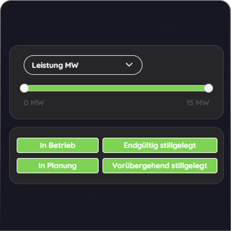
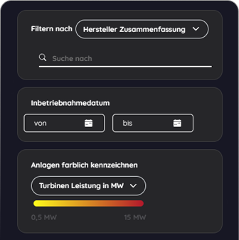
Sort offshore wind farms by year of completion, project phase or responsible company.
Precision at the touch of a button
Reduce complexity: Filter specifically by technical features, regions or operators - and get exactly the data you need.
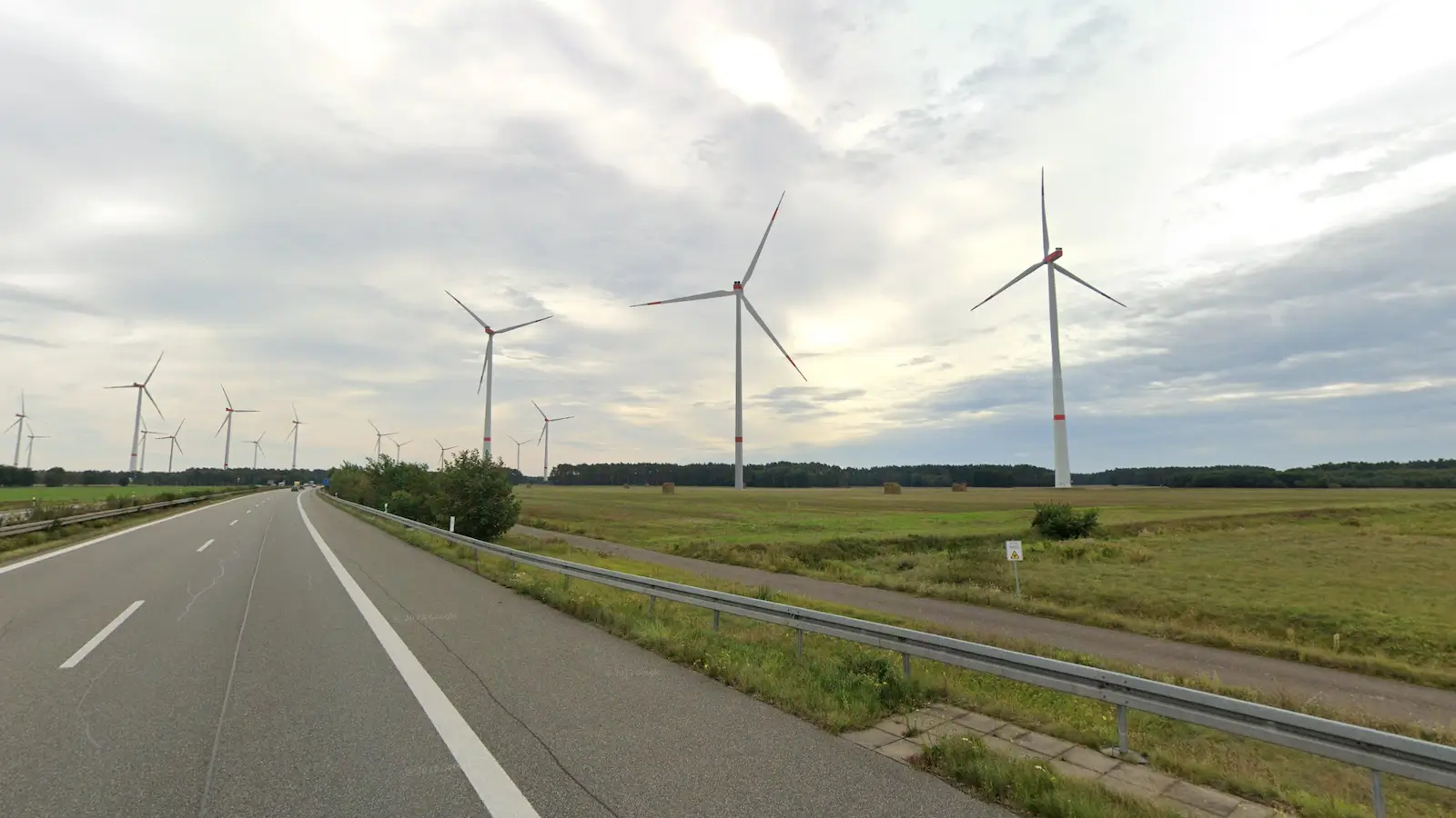
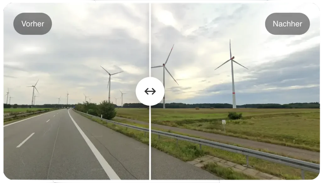
BeforeAfter
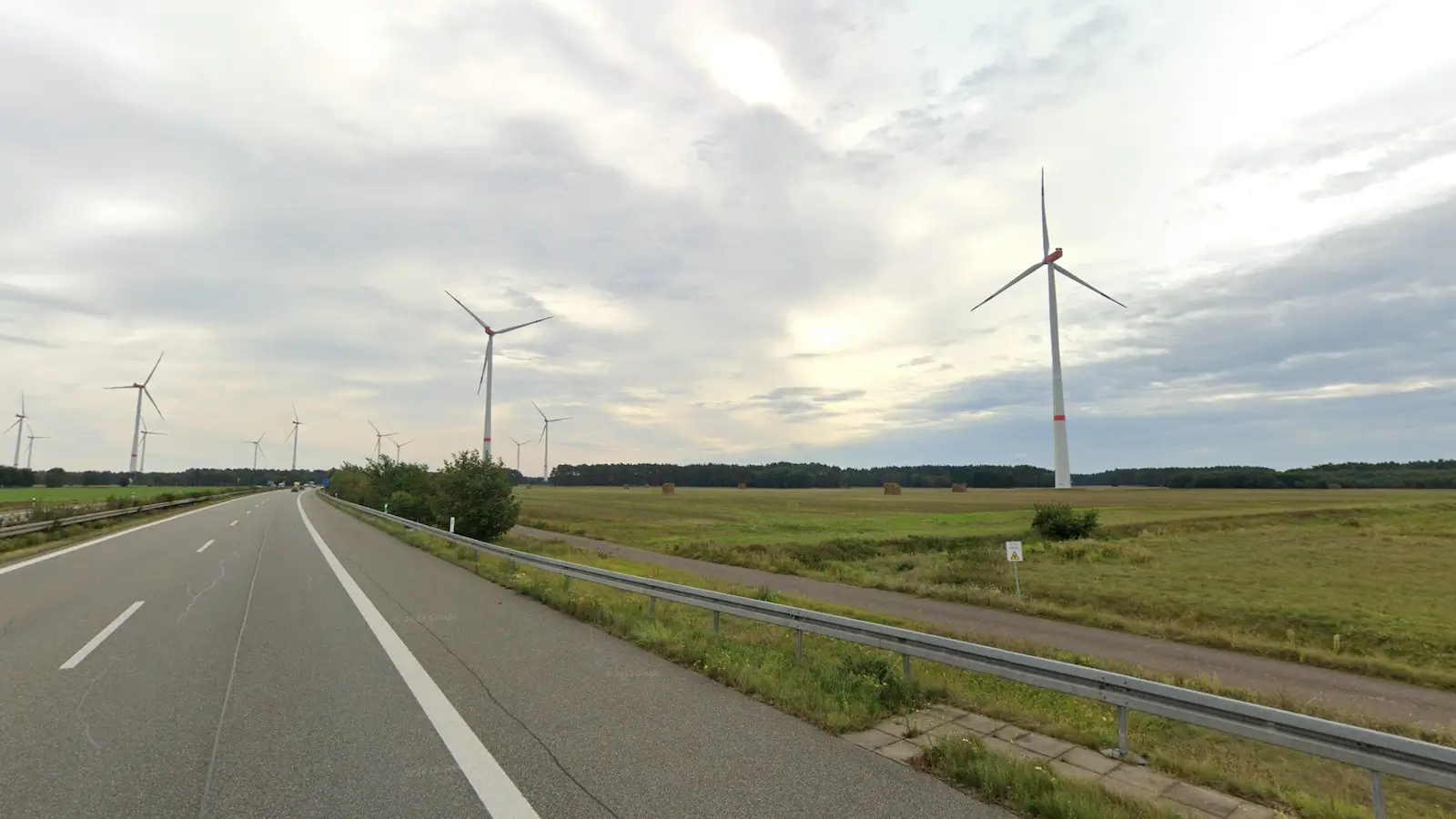
BeforeAfter
Quickly and precisely create photorealistic images of wind turbines based on Google Street View or your own photos.