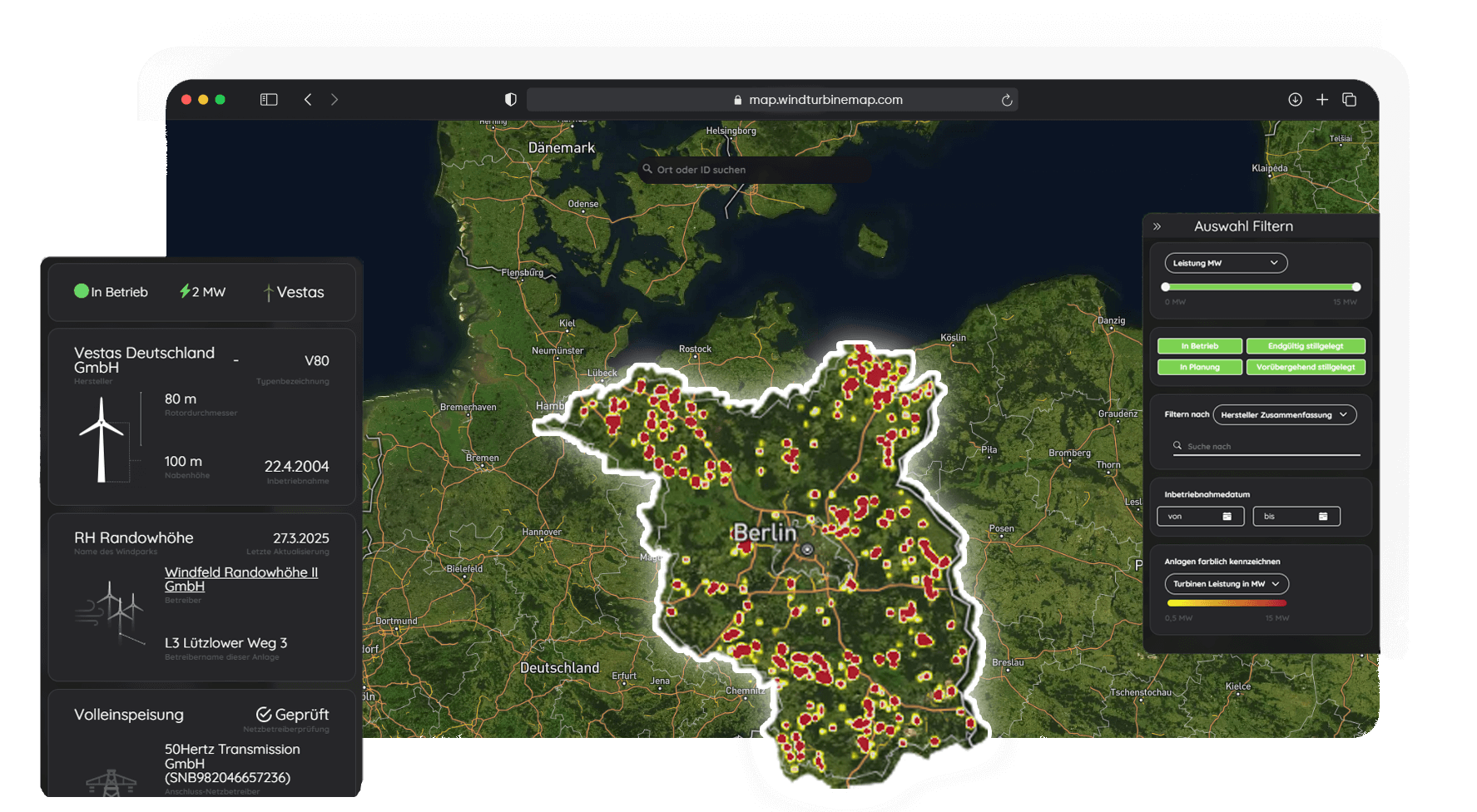
All wind turbines in Brandenburg on an interactive map
From Fläming to Uckermark - Brandenburg is one of the pioneers in wind power development. Our interactive map shows every turbine, every project, every development - visually, data-based and up-to-date.
Adjusted, verified and cross-linked wind power data for Brandenburg
Our database filters, cleanses and links related information. This gives you a clear, usable picture of the actual wind power situation in Brandenburg - for analyses, applications or research.
Remote controllability Direct marketer
Night marking (BNK)
Ice throw shutdown
Rotor blade de-icing
Prototype
Animal welfare shutdown
Citizen energy
Shading shutoff
Night shutdown
Pilot plant
Noise pollution control
Incident Commander
Other shutdown
with extensive data depth
+15
Planned installations
All current projects in Brandenburg - including approval status, year of construction and geocoordinates.
+ 0
active operators in Brandenburg
Get access to structured operator data - from cooperatives to international energy companies.
+ 0
Existing wind turbines
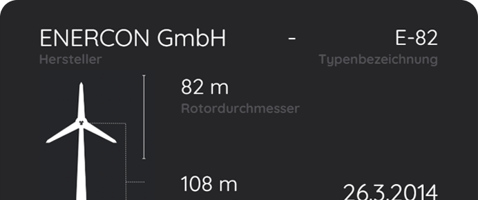
Each turbine with location, type designation, hub height & commissioning date - updated daily.
Focus on the region
Brandenburg's wind power - more transparent than ever
Whether working with authorities, project planning or public participation: WindTurbineMap provides precise location data, turbine details and operator information for the whole of Brandenburg. For better decisions and a transparent energy transition.
WTGs in Brandenburg at a glance
Planning offices, journalists or committed citizens - anyone who wants to find out about wind power in Brandenburg will find the perfect basis for detailed filtering here.
Filter smart - act precisely
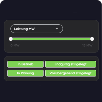
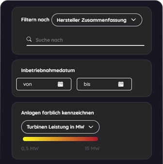
Are you looking for systems over 3 MW, specific manufacturers or a radius around your region? Our filter options bring clarity to the flood of data.